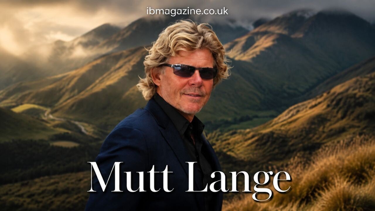
Mutt Lange is closely associated with Mahu Whenua, a large conservation and public-access project covering approximately 53,000 hectares of high-country land in Central Otago, New Zealand. The protected area encompasses four pastoral stations held by Soho Property Ltd, of which Lange is the sole shareholder.
Permanent open-space covenants protect the area’s alpine environments, native habitats, waterways and heritage sites. The arrangements also provide an extensive network of walking and cycling routes. Although Mahu Whenua is often described as a private conservation project, much of the land is held through Crown pastoral leases rather than owned outright by Lange or his company.
| Field | Details |
|---|---|
| Conservation project | Mahu Whenua |
| Location | Central Otago, New Zealand |
| Protected area | Approximately 53,000 hectares |
| Stations | Coronet Peak, Glencoe, Mount Soho and Motatapu |
| Leaseholder | Soho Property Ltd |
| Company ownership | Mutt Lange is the sole shareholder of Soho Property Ltd |
| Protection mechanism | Four permanent QEII open-space covenants |
| Conservation partner | Queen Elizabeth II National Trust |
| Public access | Designated walking and cycling routes |
How the Central Otago Project Began
The foundations of Mahu Whenua can be traced to a New Zealand Government decision announced on 16 September 2004. The Government approved an application by Robert and Eileen Lange concerning the Motatapu and Mount Soho Crown pastoral leases, subject to extensive conservation and public-access conditions.
Under those conditions, land above 1,100 metres was to be retired from farming and protected through a covenant with the Department of Conservation. The affected area represented just over half of the two stations’ combined land.
The decision also included plans for a tramping route intended to connect with Te Araroa, together with huts and other facilities for walkers. Approximately 4,000 hectares surrounding the route were to be made available for public access.
These requirements made conservation and recreational access part of the approved landholding arrangement from the outset. They were not simply voluntary additions made after the leases had been acquired.
The 2004 approval also referred to a planned investment of NZ$1.6 million in farm development during the following three years. The official record therefore contemplated both the continuing management of the pastoral leases and substantial restrictions designed to protect the higher country.
Importantly, the approval did not transfer the underlying land out of Crown ownership. The applicants acquired interests in Crown pastoral leases, while the Crown retained the ultimate title.
Bringing Four High-Country Stations Together
Mahu Whenua now encompasses Coronet Peak, Glencoe, Mount Soho and Motatapu stations. The Queen Elizabeth II National Trust, commonly known as QEII, identifies them as Crown pastoral leases held by Soho Property Ltd.
QEII also identifies Mutt Lange as the company’s sole shareholder. That official description establishes his connection to the land and the conservation arrangements without suggesting that he personally owns every hectare outright.
Together, the four stations form a high-country estate extending across approximately 53,000 hectares. Their inclusion within one conservation framework allows habitats, waterways, landscape features and heritage sites across a wide area to receive permanent legal protection.
Official figures are not completely uniform. A QEII annual report produced when the covenants were established recorded 51,554 hectares, while current institutional descriptions generally use approximately 53,000 hectares. The available institutional records do not explain the difference.
Creating Permanent Conservation Covenants
Four QEII open-space covenants covering Mahu Whenua were formally registered on 19 February 2015. The protected area was officially opened on 7 March 2015, marking the completion of a conservation process involving Lange, Soho Property Ltd, QEII and relevant public agencies.
At the time, the New Zealand Government described the arrangement as the country’s largest private land-protection undertaking. That description referred to the scale of the covenants rather than a transfer of the property into public ownership.
A QEII covenant is a permanent legal protection attached to land. It is intended to safeguard recognised natural, landscape, cultural or heritage values even if the landholding later changes hands. At Mahu Whenua, this mechanism created long-term restrictions across the four stations while retaining their existing Crown pastoral lease structure.
The distinction between protection and ownership is significant. Mahu Whenua was not donated to the Government or converted into a publicly owned national park. Instead, permanent open-space covenants were placed over land held through Crown pastoral leases, combining legal conservation controls with managed public access.
Landscapes and Heritage Protected
The Mahu Whenua covenants cover a varied high-country environment. QEII’s official descriptions identify alpine areas, montane grasslands, wetlands, riparian zones and surviving patches of native forest and shrubland among the features protected.
Riparian protection applies to land bordering rivers, streams and other waterways. Safeguarding these areas helps preserve the natural character of the watercourses and the vegetation and habitats associated with them.
The covenants also recognise the importance of remaining native ecosystems within a landscape that has long been used for pastoral purposes. Permanent protection limits activities that could damage the identified natural values and establishes a continuing framework for their management.
Mahu Whenua is not protected solely for its landscape and ecological features. Official descriptions state that the covenants also cover historical, archaeological and cultural sites across the four-station estate.
The earlier 2004 conditions required land above 1,100 metres on Motatapu and Mount Soho to be retired from farming. The 2015 covenants later established permanent protection across the broader four-station estate.
Expanding Public Access
Public access has been a central part of the Mahu Whenua arrangements since the Government’s 2004 approval. The original conditions envisaged a tramping route, huts and recreational access over thousands of hectares around the proposed track.
When the four covenants were opened in 2015, the Government referred to a network of 21 tracks and trails through the protected land. These routes enabled the conservation project to provide practical recreational access rather than protecting the landscape solely behind closed boundaries.
Further access was formalised in June 2022, when 11 additional tracks across Mahu Whenua were gazetted as public walkways. Herenga ā Nuku Aotearoa Outdoor Access Commission reported that the routes were open and in use. Four of the newly recognised tracks also allowed cycling.
In its account updated on 17 April 2024, the commission described Lange and land manager Russell Hamilton as supportive of the work required to establish the public-access routes.
Gazetting the tracks gave their public status a formal foundation. It also clarified where walking and, on designated routes, cycling could take place within a large working high-country landscape.
The access network operates alongside the conservation covenants. Visitors receive opportunities to experience parts of Mahu Whenua, while marked routes and managed conditions help direct recreational use through environmentally and operationally sensitive land.
Managing Mahu Whenua Access in 2026
A more recent development concerns access along Macetown Road. QEII’s current project information states that a managed permit system took effect on 1 April 2026.
The system is intended to balance continued access with environmental protection and the cost of maintaining the road. The published charge is NZ$40 for an individual trip, while eligible residents can obtain an annual pass for NZ$100.
This arrangement applies specifically to managed use of Macetown Road and should not be confused with the wider network of formally recognised walking and cycling routes across Mahu Whenua. Different forms of access may therefore be governed by different conditions.
The permit system represents a practical management change rather than a withdrawal of the project’s public-access commitments. It provides a controlled way to continue using a route where traffic, maintenance requirements and environmental effects need to be considered together.
The Project’s Continuing Conservation Role
Mahu Whenua combines permanent legal protection with organised recreational access across four Central Otago high-country stations. Its present form developed through several stages: the conditions attached to the Motatapu and Mount Soho leases in 2004, the registration and opening of four QEII covenants in 2015, the gazetting of additional walkways in 2022 and the introduction of managed Macetown Road access in 2026.
Mutt Lange’s verified role is defined through Soho Property Ltd, which holds the Crown pastoral leases and identifies him as its sole shareholder. The land remains subject to its underlying tenure, while the covenants permanently protect recognised natural, landscape and heritage values.
Current institutional descriptions place the protected area at approximately 53,000 hectares. Across that land, Mahu Whenua provides long-term safeguards for high-country habitats and cultural sites while allowing walkers and cyclists to use designated routes. Its significance rests on that combination of scale, permanent protection and structured public access.
You may also read: Suzanne Farrington Preserved Vivien Leigh’s Legacy in Museums.